


E-bike route
Racing
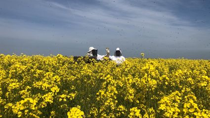
55 km
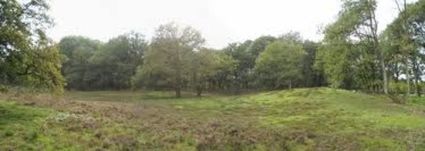
Drenthe Periphery Route 10 Norg starts and ends at the Oosteind/Peesterstraat crossroad in Norg. The route has a length of 55 km and passes through Westervelde, Veenhuizen, Assen, Rolde, Gasteren, Oude Molen, Zeijen and Peest—and back to Norg again.
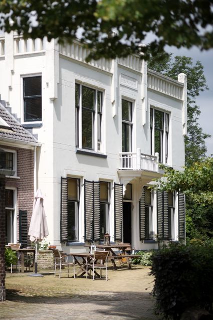
Veenhuizen
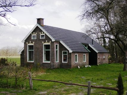
This route takes you past the unique village of Veenhuizen (a little removed from the route). In Veenhuizen you feel the history of the Koloniën van Weldadigheid (“humanitarian colonies”). These colonies were founded in 1818 by General Johannes van den Bosch with the aim of combating poverty in the Netherlands. Poor “paupers” were given a small house, as well as schooling and healthcare, in one of the colonies. They had to cultivate the land to provide for themselves. The largest part of the colonies is located in Drenthe: in Veenhuizen, Frederiksoord and Wilhelminaoord.
Of a tota…
Drenthe Periphery Route 10 Norg starts and ends at the Oosteind/Peesterstraat crossroad in Norg. The route has a length of 55 km and passes through Westervelde, Veenhuizen, Assen, Rolde, Gasteren, Oude Molen, Zeijen and Peest—and back to Norg again.
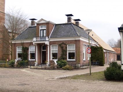
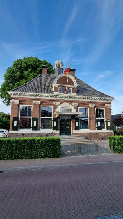
Veenhuizen
This route takes you past the unique village of Veenhuizen (a little removed from the route). In Veenhuizen you feel the history of the Koloniën van Weldadigheid (“humanitarian colonies”). These colonies were founded in 1818 by General Johannes van den Bosch with the aim of combating poverty in the Netherlands. Poor “paupers” were given a small house, as well as schooling and healthcare, in one of the colonies. They had to cultivate the land to provide for themselves. The largest part of the colonies is located in Drenthe: in Veenhuizen, Frederiksoord and Wilhelminaoord.
Of a total of seven colonies, four were for poor people who moved there voluntarily. The other three were for beggars and tramps. These Dwangkoloniën (“compulsory colonies”) were large, densely-populated asylums in which people were under supervision day and night. Veenhuizen was one of the compulsory colonies. Make sure to visit Gevangenismuseum (Prison Museum) Veenhuizen, where you will learn everything about this historic village.
Start: Norg Oosteind/Peesterstraat crossroad
Leave to. Roden (Oosteind/Brink) - TL to. Veenhuizen (Brink/Asserstraat) – TR Westervelde (Schoolstraat)
Westervelde
CSA to. Veenhuizen (Norgerweg)
Veenhuizen
End of the road TL to. Assen (Hoofdweg) - cross road and after bridge follow bicycle path alongside the water - end of the road TR to. Assen (Norgervaart) - end of the road TL to. Assen (Hoofdweg) - end of bicycle path TL bicycle path to. Assen (Hoofdvaartsweg)
Assen
ROU SA (Hoorfdvaartsweg) - CR SA (Hoofdvaartsweg) - after tunnel continue following bicycle path along Europaweg West (Oude Hoofdvaartsweg) - CR Balkenweg SA follow bicycle path - at T junction bicycle path KR and cross Hoofdlaan (Stadsbroek) - 1st road TR (Kortbossen) - 1st road TL - Regionaal Wielercentrum Noord - TR (Kortbossen/Roldertorenlaan) - end of the road TR (Beilerstraat) - at TrL SA (Graswijk) - at T junction CR (Graswijk) - in front of viaduct TL (Diepstroeten) - road CSA (Diepstroeten) - end of the road TL (Anreep)
Anreep
CSA (Schieven) - end of the road TR to. Rolde (Rolderhoofdweg)
Rolde
T junction TL to. Gieten (Gieterstraat) - 2nd road TL to. Anderen (Nijend)
Anderen
CSA to. Gasteren (Oldend)
Gasteren
End of the road TR (Westeinde/Brink) - TL to. Oude Molen (Oude Molensterweg)
Oude Molen
CR SA to. Zeijen (Linthorst Homanweg) - bridge Noord-Willemskanaal CSA to. Zeijen (Oude Molenseweg)
Ubbena
CR SA to. Zeijen (Zeijerstroeten)
Zeijen
CR TR to. Norg (Hoofdstraat)
Peest
CSA to. Norg (Hoofdweg)
Norg
End of the road TL (Oosteind/Brink)
Finish: Norg Oosteind/Peesterstraat crossroad
Legend route description:
CR = crossroad
TL = turn left
KL = keep left
to. = towards
TJ = T junction
TR = turn right
KR = keep right
le. = left
ROU = roundabout
SA = straight ahead
CSA = continue straight ahead
ri. = right
TrL = traffic light