5


Hike
City hike
3 km
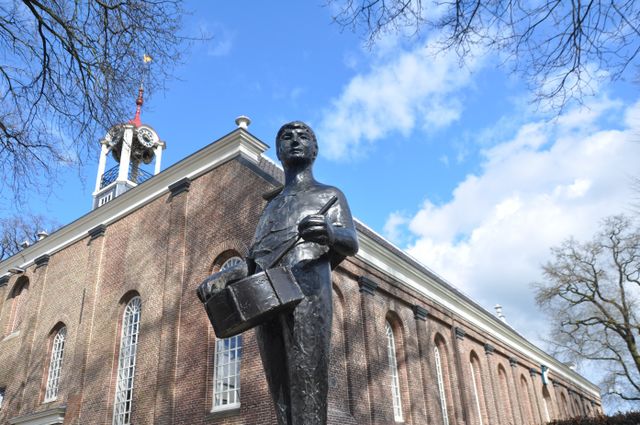
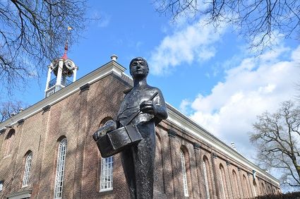
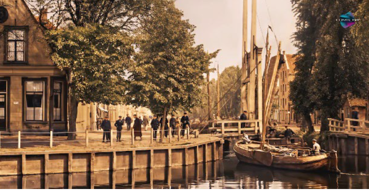
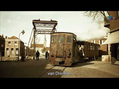
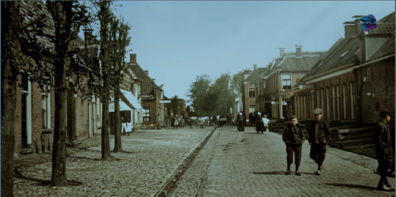
Hoogeveen’s history will come to life during this signposted walking route. A history that starts with Roelof van Echten around 1625. He bought an extensive area of peatland around Zuidwolde, the current Hoogeveen, at the time.
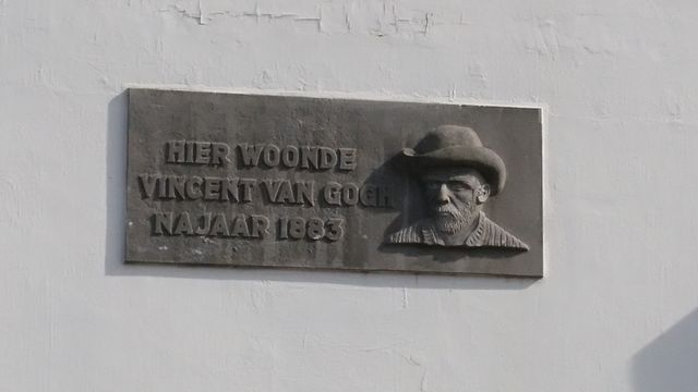
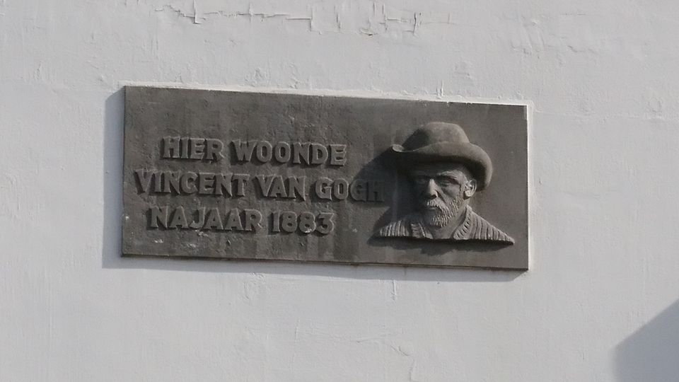
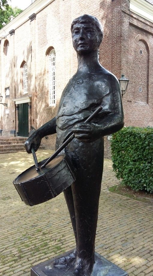
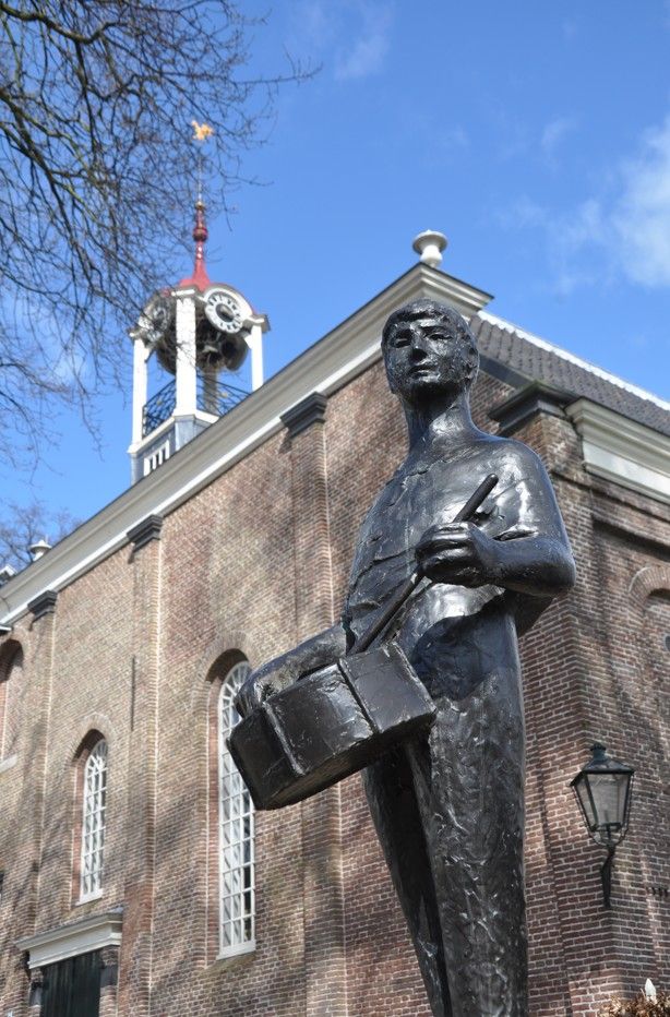
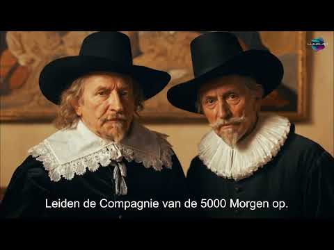
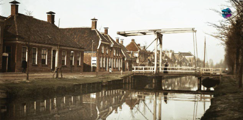
Meaning “high fen” (fen being a kind of peatland), the name Hoogeveen points towards the city’s history as a peat settlement. To conduct the area’s peat extraction, Roelof founded the Compagnie van de 5000 Morgen, which translates as “Company of the 5000 Tomorrows.” This company had an extensive network of canals dug to drain the area, allowing them to transport the “brown gold” to its users. Every Sunday, Roelof van Echten had a tambour player, De Trommelslager, go out to drum up the peat labourers to go to church.
From the Middle A…
Hoogeveen’s history will come to life during this signposted walking route. A history that starts with Roelof van Echten around 1625. He bought an extensive area of peatland around Zuidwolde, the current Hoogeveen, at the time.
Meaning “high fen” (fen being a kind of peatland), the name Hoogeveen points towards the city’s history as a peat settlement. To conduct the area’s peat extraction, Roelof founded the Compagnie van de 5000 Morgen, which translates as “Company of the 5000 Tomorrows.” This company had an extensive network of canals dug to drain the area, allowing them to transport the “brown gold” to its users. Every Sunday, Roelof van Echten had a tambour player, De Trommelslager, go out to drum up the peat labourers to go to church.
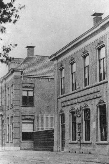
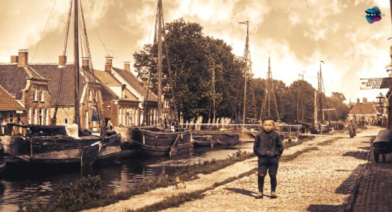
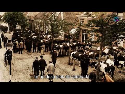
From the Middle Ages until around the year 1900, peat was used as a household and industrial combustion fuel. With the arrival of coal around 1900, people in Hoogeveen had to switch to different ways of making a living. They switched to agriculture, livestock farming and industry. In the sixties of last century, Hoogeveen was even one of the Netherlands’ fastest growing municipalities.
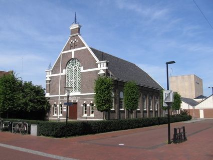
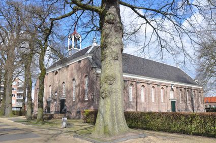
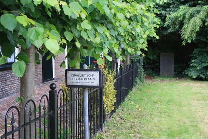
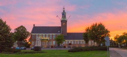
The route starts at Grote Kerk (“Large Church”). There are paid parking options close to this church along Van Echtenstraat or Van Echtensplein. You can also use the signposting present to start the route from other locations.

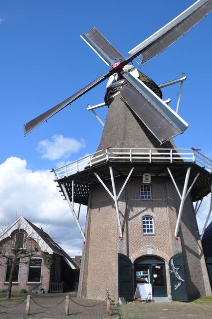
De Zwaluw is an operational mill with an expansive shop in the centre of Hoogeveen. Since it’s a production mill, its electric motor is switched on when there is no wind. Its name was only recently given to it after its renovation in 1980.


Hoogeveen's old post office has now been replaced by Eatery De Beurs.