


Hike
10 km
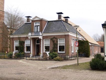
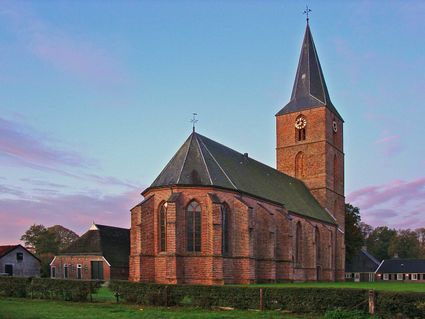
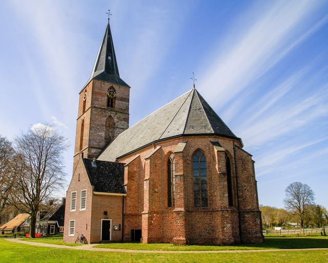
In the past, traveling was quite an endeavour, but this is one place where hikers never got lost. Rolde’s high tower showed them the way. Much has changed since then, but Rolde, known for its high tower, and Balloo remain characteristic esdorpen, a traditional type of village.
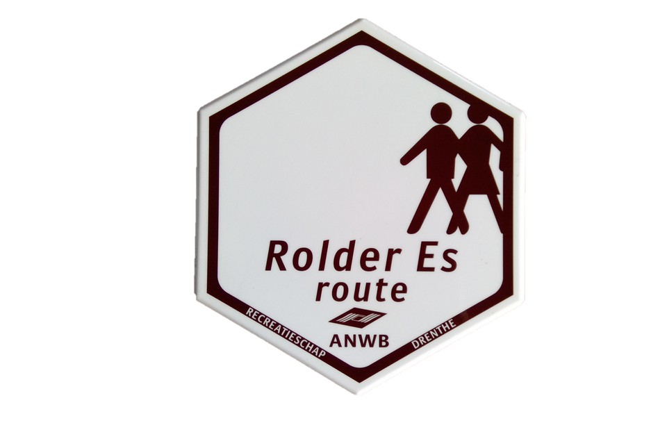
The 9.5-kilometre ‘Rolder Es’ trail takes you through the Drenthe landscape between Rolde and Balloo. For a delicious snack or a refreshing drink during your hike, there are plenty of opportunities at the start and end of the trail in Rolde.
In earlier centuries, famed hikers sang the praises o…
In the past, traveling was quite an endeavour, but this is one place where hikers never got lost. Rolde’s high tower showed them the way. Much has changed since then, but Rolde, known for its high tower, and Balloo remain characteristic esdorpen, a traditional type of village.
The 9.5-kilometre ‘Rolder Es’ trail takes you through the Drenthe landscape between Rolde and Balloo. For a delicious snack or a refreshing drink during your hike, there are plenty of opportunities at the start and end of the trail in Rolde.
In earlier centuries, famed hikers sang the praises of this beautiful area, though heathland did not enjoy much of a reputation. There was too much of it, making the landscape overly monotonous. Nothing would excite travellers more than encountering a village. Although travelling used to be quite an endeavour, visitors would never get lost around Rolde, with the high tower showing them the way. Much has changed since, but the church tower still stands to this day and Rolde and Balloo have remained typical old villages.
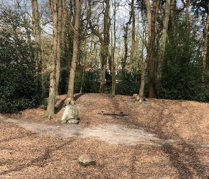
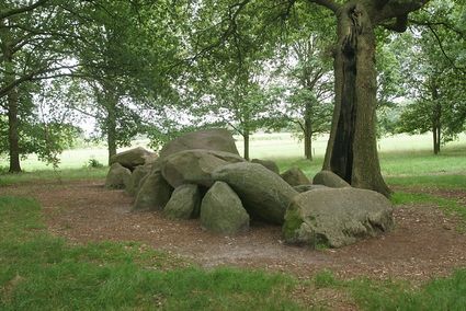
This trail offers a lot of variety. You will walk along a former railway embankment, burial mounds and dolmens, an old church path and a pit shrouded in mystery.
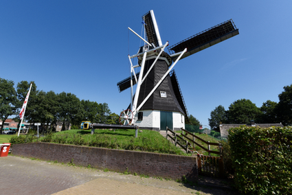
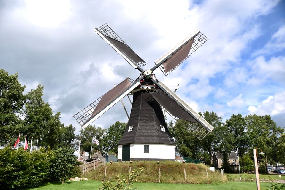
Rolde is home to Drenthe’s smallest mill. It’s so small that not everybody can use its last stairs up. The mill doesn’t have a name of its own, but is simply referred to as the mill of Rolde. It’s an extraordinary ground sailer atop a mill mound in the