Between France and Egypt

1 hour 55 minutes (8.6 km)

  • Download
  • Stroll through France and amble through Egypt in just one day. All near the Frisian village of Nijeberkoop, a stone’s throw from Drenthe, where you’ll find streets bearing the beautiful names of Frankrijk (France) and Egypte (Egypt).

    The 6.5-kilometre trail 'Between France and Egypt' co…

    Stroll through France and amble through Egypt in just one day. All near the Frisian village of Nijeberkoop, a stone’s throw from Drenthe, where you’ll find streets bearing the beautiful names of Frankrijk (France) and Egypte (Egypt).

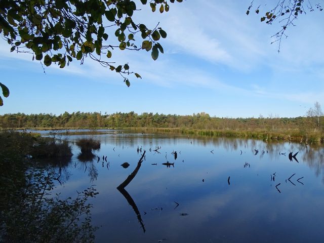
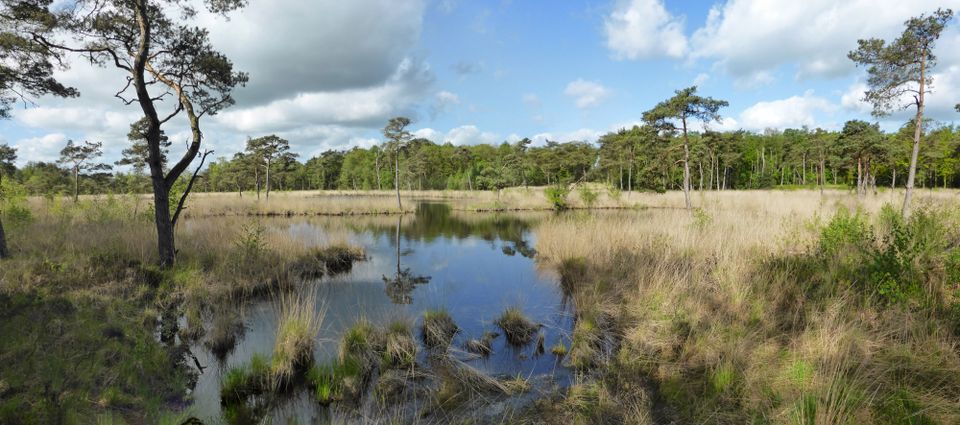
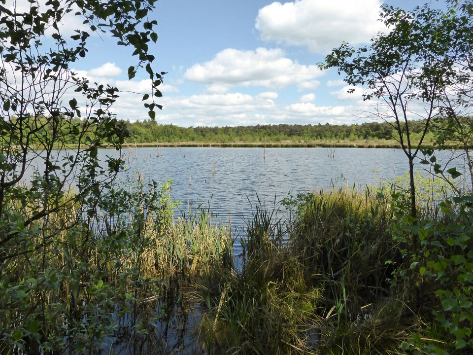
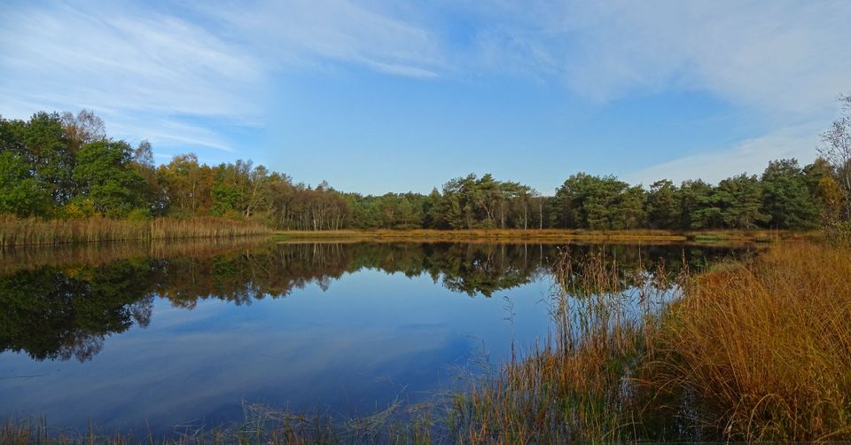
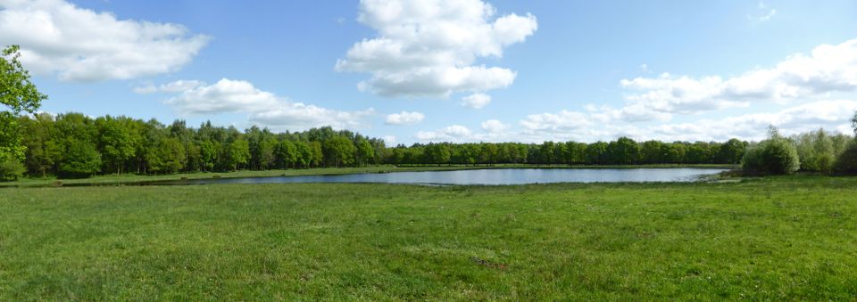
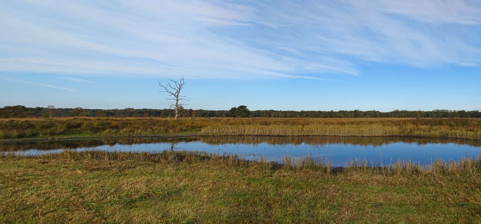
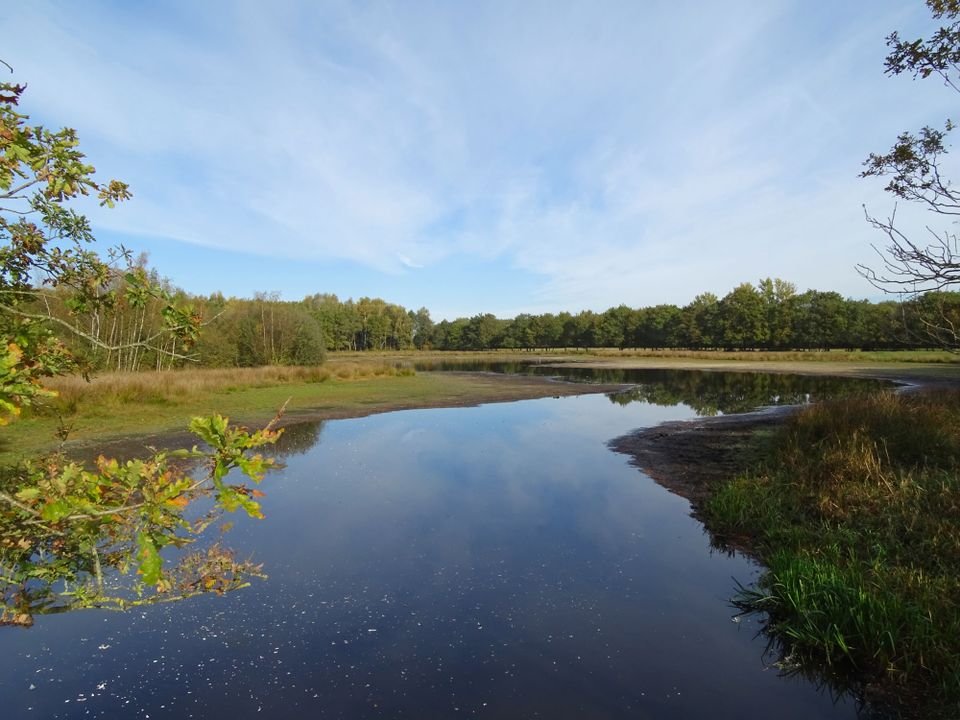
    The 6.5-kilometre trail 'Between France and Egypt' combines young nature with ancient history and runs around the Frisian village of Nijeberkoop, near Drenthe. How can you get from France to Egypt in just a few kilometres? Nijebergkoop is home to streets that bear these beautiful names: you’ll encounter the street named Frankrijk (France) on your way, and Egypte (Egypt) is partly the old road from Tronde to Jubbega and partly a land consolidation road. For a delicious snack or a refreshing drink during your hike, there are plenty of opportunities at the start and end of the trail in Nijeberkoop.

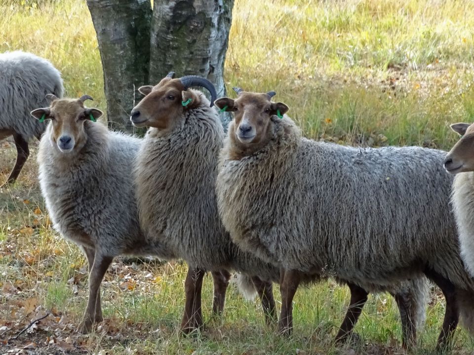
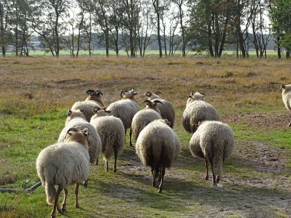
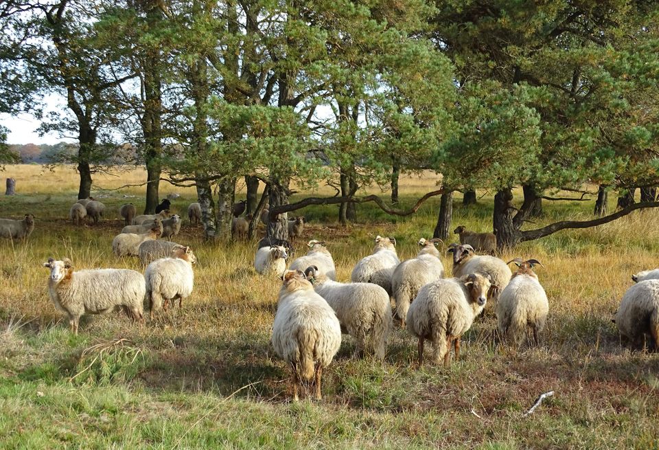
    The beautiful Bosschoeve estate flanks Frankrijk and is crossed by Egypte. The estate is 7 kilometres long but is quite narrow, bordered by the Tjonger and De Linde rivers. The trail runs across the yard of the ‘Bosschoeve’ farm, which dates from 1719 and has been rebuilt several times.

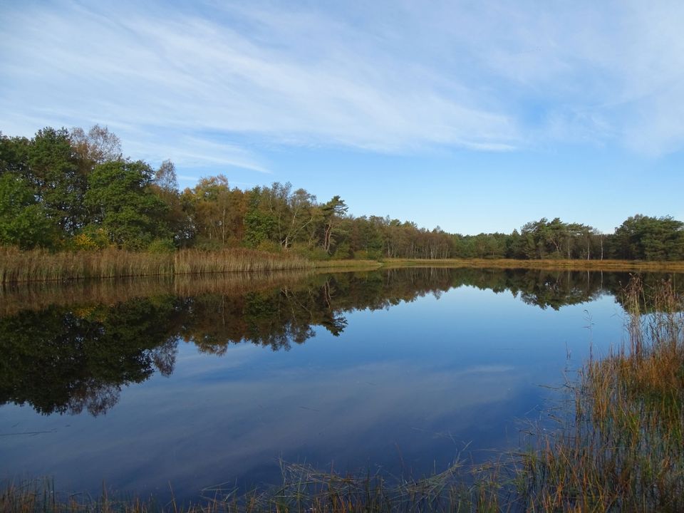
    The trail will also take you past the former main street of Nijeberkoop, which is now nothing more than a grass path flanked by bushes. You will also stroll through the Middelburen area, named after the disappeared village of Middelburen.

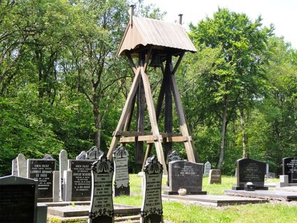
    The cemetery of Nijkeberkoop is located in the middle of the forest. It was once home to a church and belfry, as shown on a drawing made by painter Jacobus Stellingwerf in 1722. The church has since been demolished, but the belfry has been preserved thanks to several restorations.

    Sights on this route

    Starting point: Bovenweg 26
    8422 DH Nijeberkoop
    1

    2

    3

    4

    5

    6

    7

    8

    End point: Bovenweg 26
    8422 DH Nijeberkoop

    Directions

    Starting point: Bovenweg 26
    8422 DH Nijeberkoop
    • Nijeberkoop is one of the smallest villages in the municipality of Ooststellingwerf and is concentrated around the Bovenweg (N351). The trail starts along the Bovenweg. The village’s most striking feature is the Boschhoeve farm, situated in the eponymous Boschhoeve estate. The village also has a belfry, which can be found in the cemetery opposite the Boschhoeve.
    • The cemetery of Nijkeberkoop is located in the middle of the forest, which was once home to a church as belfry, as shown on a drawing made by painter Jacobus Stellingwerf in 1722. Unfortunately, we do not know when the church was demolished, but the belfry has been preserved thanks to several restorations.
    • The beautiful Boschhoeve estate is 7 kilometres long but is quite narrow, bordered by the Tjonger and De Linde rivers. The estate runs parallel to Frankrijk and is crossed by Egypte. The trail will first take you across the yard of the Bosschoeve farm, which dates from 1719 and has been rebuilt several times. The farm itself can only be visited by appointment. The forest is characterised by tall, stately beeches and younger plantings. A little further into the dense forest, there are several old watercourses, which, in the past, would flood whenever De Linde burst its banks due to heavy rainfall. There are various beautiful fens near De Linde.
    • You continue your walk on a quiet road (Abbendijk) flanked with stately trees. This old road connects Tronde to Jubbega. You pass the hamlet of Frankrijk, which stems from the early 20th century. Its name comes from an old field name, which, according to an old folk tale, was the result of a local quarrel about the war with France in the 19th century.
    • You continue on your way towards the Bovenweg, reaching the junction with Nijeberkoop’s old main road, which leads to Makkinga. Today, there is nothing to suggest that this would have been an incredibly busy intersection until about 1900. To the right of the road is the Middelburen region, named after the disappeared village of Middelburen, with the stins (stronghold) of the Lycklama family. Both the road (to the right) and the village (also to the right) no longer exist.
    • Having passed the Bovenweg, you reach Nijeberkoop’s old main road, which is now a grass road flanked by young bushes that shows no signs that it was once a major thoroughfare. The old maps show various farms of differing sizes along this road. On the right-hand side of the road, near the information panel, there is a clearing that used to be the site of an old farm.
    • The Diakonievene is just a short distance from the hiking trail. This 44-hectare nature reserve is near Nijeberkoop and consists of several interconnected lakes. The area is also home to a pingo ruin, a wooded crest of shifting sand and pieces of heather.
    • Just off the hiking trail is the Felida Big Cat Centre, a shelter for animals forced to live in poor conditions in circuses, zoos and private ownership.
    • Continue your walk back to the Bovenweg. The ‘Between France and Egypt’ trail is now over. Sit back and relax in one of the many great local cafés or restaurants and look back at this beautiful hike.
    End point: Bovenweg 26
    8422 DH Nijeberkoop