4


Recreatief
45 km
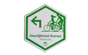
The Heren van Ruinen (“Lords of Ruinen”) were at the head of Heerlijkheid Ruinen long ago. A heerlijkheid was an area in which public authority was “loaned out” to a third party by, for example, a bishop. In this case, the rulers of the area were the Lords of Ruinen. You quickly discover the area’s beauty and appeal while cycling this route.
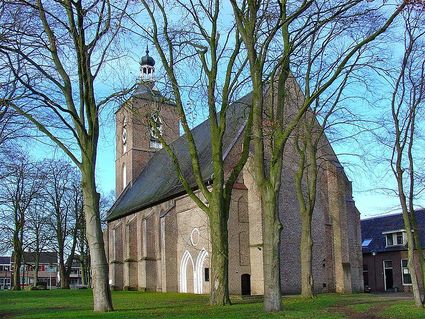
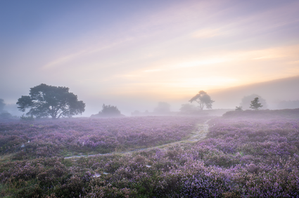
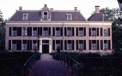
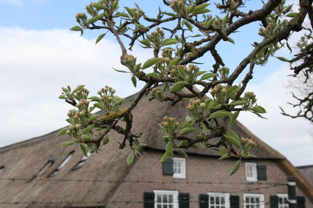
The signposted route starts in Ruinen on the spot where Drenthe’s oldest monastery used to stand—currently the location of the St Mary Church. Leaving Ruinen, you cycle through the large and beautiful forests and heathland of the Ruinen forestry. A beautiful havezate (a kind of fortified manor) can be found in the old esdorp of Echten: Huize Echten (“Echten Manor”).
Passing through K…
The Heren van Ruinen (“Lords of Ruinen”) were at the head of Heerlijkheid Ruinen long ago. A heerlijkheid was an area in which public authority was “loaned out” to a third party by, for example, a bishop. In this case, the rulers of the area were the Lords of Ruinen. You quickly discover the area’s beauty and appeal while cycling this route.
The signposted route starts in Ruinen on the spot where Drenthe’s oldest monastery used to stand—currently the location of the St Mary Church. Leaving Ruinen, you cycle through the large and beautiful forests and heathland of the Ruinen forestry. A beautiful havezate (a kind of fortified manor) can be found in the old esdorp of Echten: Huize Echten (“Echten Manor”).
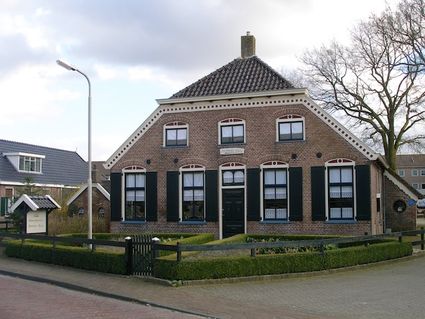
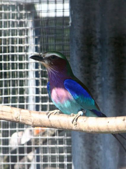
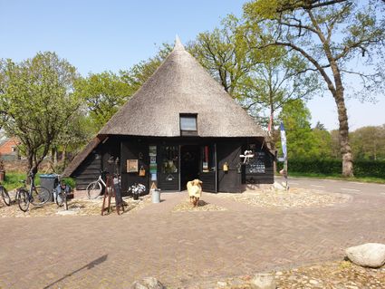
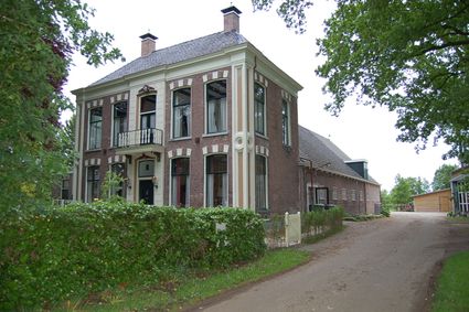
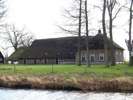
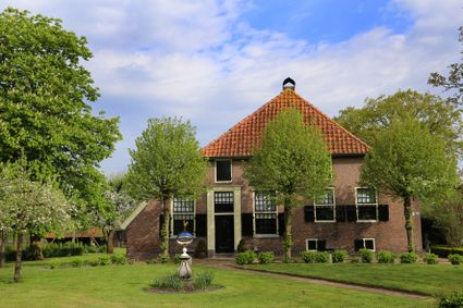
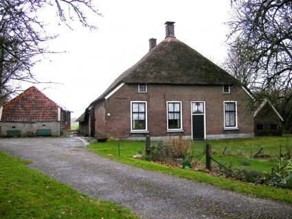
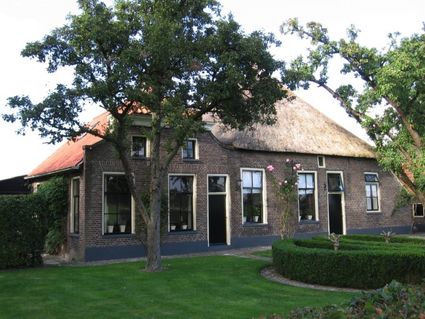
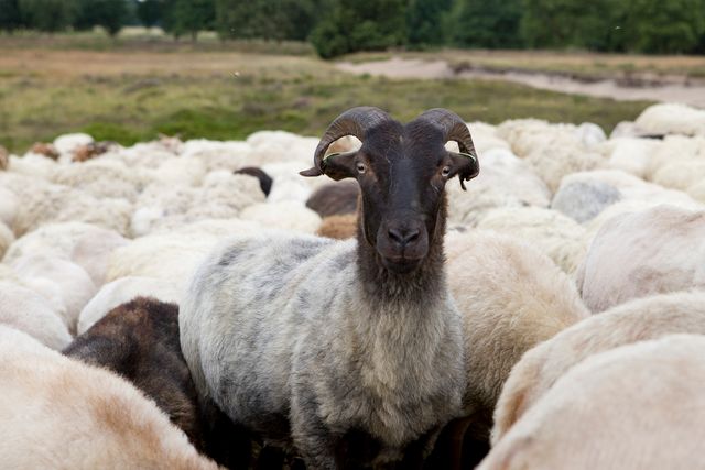
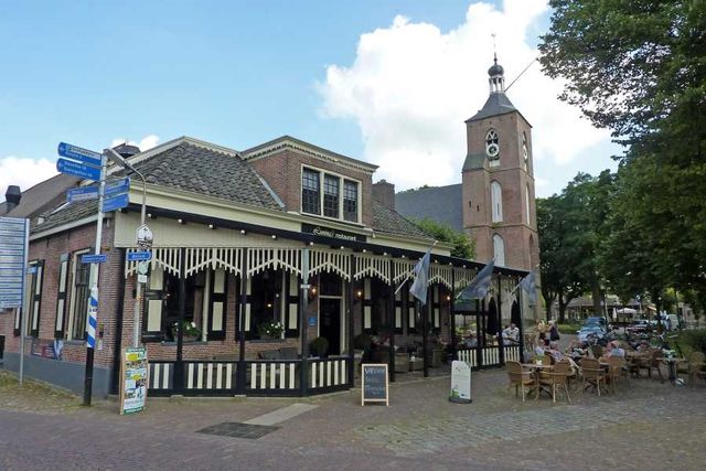
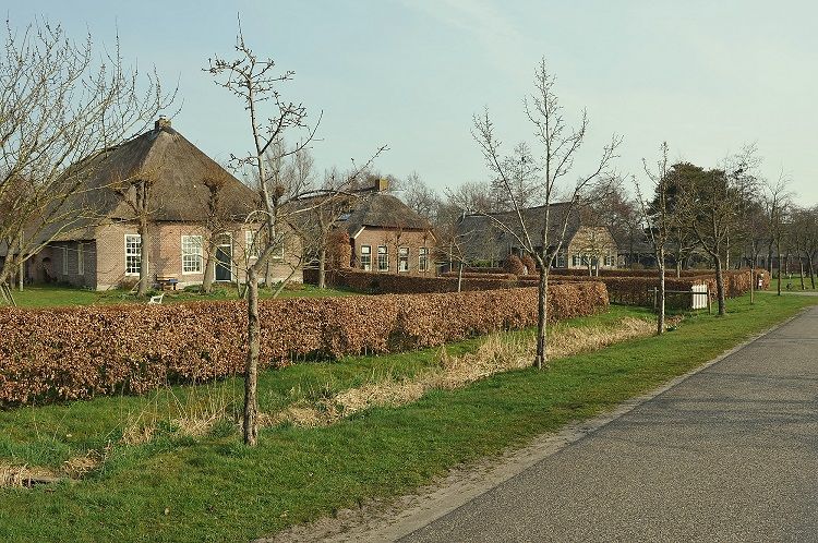
Passing through Koekange and the hamlet of Blijdenstein, with its Ruinerwold Church, you end up in Ruinerwold. Characteristic features of Ruinerwold are its stately, monumental farms along Dr. Larijweg, which runs towards Ruinen. A little further and you’re back in Ruinen—its lively and charming terraces waiting to welcome you. Just outside Ruinen, Visitor Centre Dwingelderveld and Ruinen’s sheepfold are worth a visit.
The route starts at the brink (a central open space to be found in many of Drenthe’s sandy settlements) in Ruinen. There are various places that have free parking; behind the former town hall along Brink, for example. You can also use the signposting present to start the route from other locations.