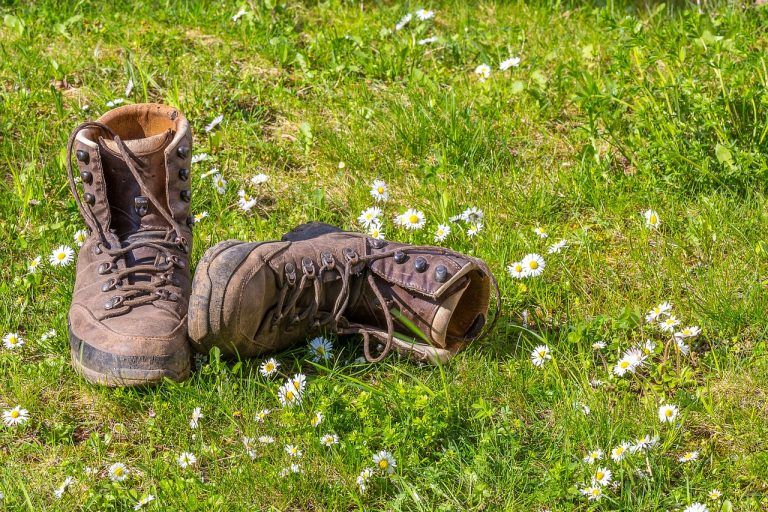
Hike
14 km
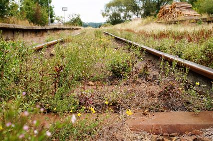
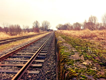
What do the Hondsrug and an old railroad have to do with each other? Between Gieten and Gasselte, you will walk over both. While on the Town and Country trail, you will picture yourself back in the iron age, passing through the burial mounds as you follow a century-old train track.
Follow the old railway line with this 13-kilometre trail between Gieten and Gasselte. For a delicious snack or a refreshing drink during your hike, there are plenty of opportunities at the start and end of the trail in Gieten and in and around Gasselte, about halfway.
The hike starts in Gieten, situated on the Ho…
What do the Hondsrug and an old railroad have to do with each other? Between Gieten and Gasselte, you will walk over both. While on the Town and Country trail, you will picture yourself back in the iron age, passing through the burial mounds as you follow a century-old train track.
Follow the old railway line with this 13-kilometre trail between Gieten and Gasselte. For a delicious snack or a refreshing drink during your hike, there are plenty of opportunities at the start and end of the trail in Gieten and in and around Gasselte, about halfway.
The hike starts in Gieten, situated on the Hondsrug. Gieten is an original esdorp village with a characteristic brink, or village square, surrounded by forests and heathland. Gieten was at the intersection of major medieval routes, which were among the first to be paved in the 19th century. In the early 20th century, a railway station was also built here for the Assen - Stadskanaal railway line. During this trail, you will follow a section of this track until you reach gAsselte.
You will also hike across the Hondsrug, the Netherlands’ only geopark. The Hondsrug is an elongated ridge in Drenthe and Groningen that stretches from Emmen to the city of Groningen, covering 70 kilometres at an average height of 20 metres above sea level.
Before the trail takes you back to Gieten, you will first make a loop through the former hamlet of Bonnen. This is where Huis te Bonnen, which would later become Entinge te Bonnen manor, was first built in the 17th century, before being demolished in 1807.
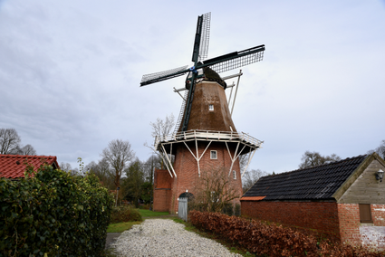
"The mill Hazewind is often referred to as Gieten’s most active monument. There’s always something going on in it. An area has been set aside for performances on the mill’s spacious ground floor. On the first floor, Mulders Boekenkist sells second-hand b