5
Hike
24.5 km
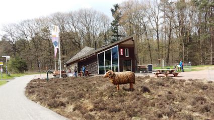
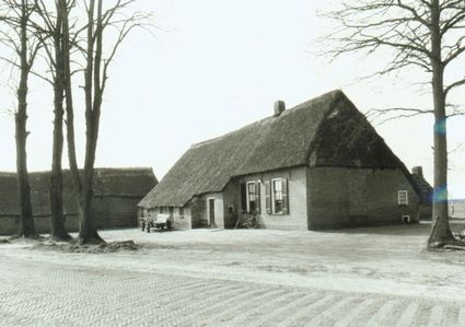
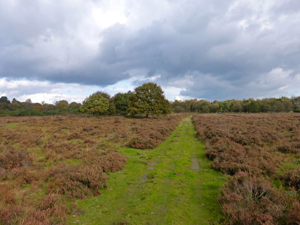
When in Beilen, get ready and lace up for the Zuider Kluft trail. This trail is full of variety, featuring open fields, beautiful views, sand drifts, heathland and forests. The heart of Drenthe has a lot to offer hikers.
The 19-kilometre ‘Zuider Kluft’ trail runs from Beilen towards the Terhorsterzand nature reserve and the Dwingeloo protected forest and back again. A shorter version of the trail only passes through the Terhorsterzand. For a delicious snack or a refreshing drink during your hike, you can best look at the start and end of the trail in Beilen or in Spier.
You’re still fresh and you’re moving at…
When in Beilen, get ready and lace up for the Zuider Kluft trail. This trail is full of variety, featuring open fields, beautiful views, sand drifts, heathland and forests. The heart of Drenthe has a lot to offer hikers.
The 19-kilometre ‘Zuider Kluft’ trail runs from Beilen towards the Terhorsterzand nature reserve and the Dwingeloo protected forest and back again. A shorter version of the trail only passes through the Terhorsterzand. For a delicious snack or a refreshing drink during your hike, you can best look at the start and end of the trail in Beilen or in Spier.
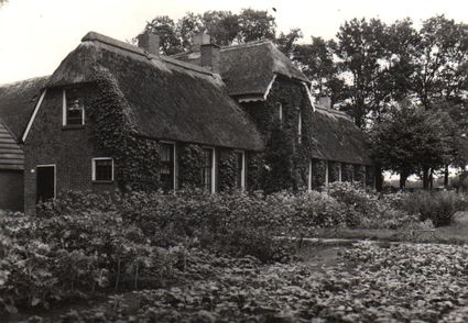
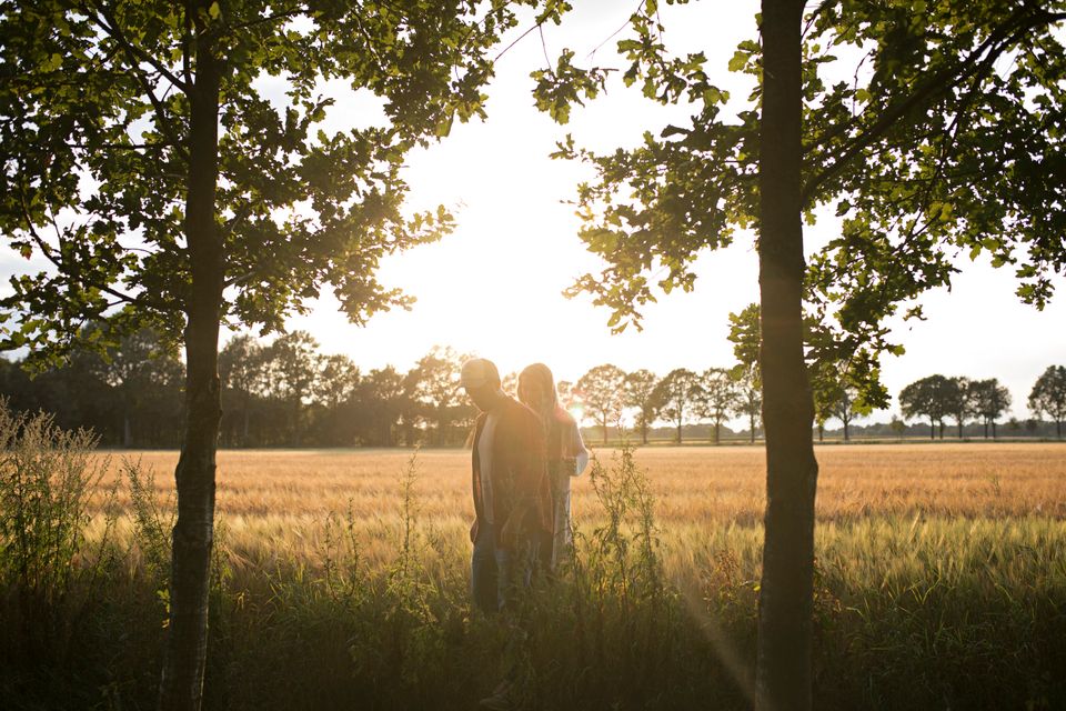
You’re still fresh and you’re moving at a good pace as you make your way in between the homes of Beilen. Your surroundings quickly grow greener as you leave the village, and with wide vistas, meadows full of cows and the forest in your sights, you’re making steady strides.
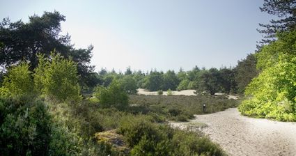
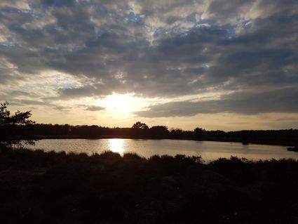
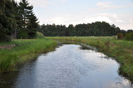
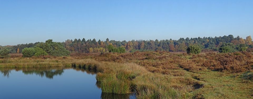
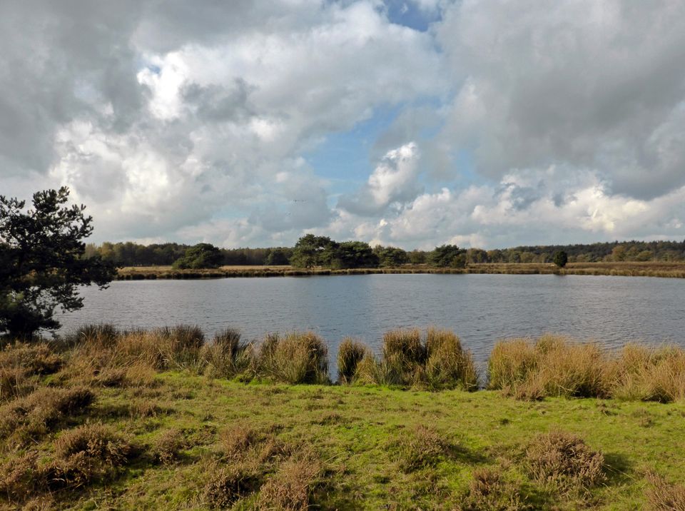
Be amazed by the natural beauty of the Terhorsterzond, with beautiful sand drifts looming up in the middle of the woods as you pass a lovely fen.
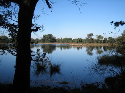
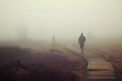
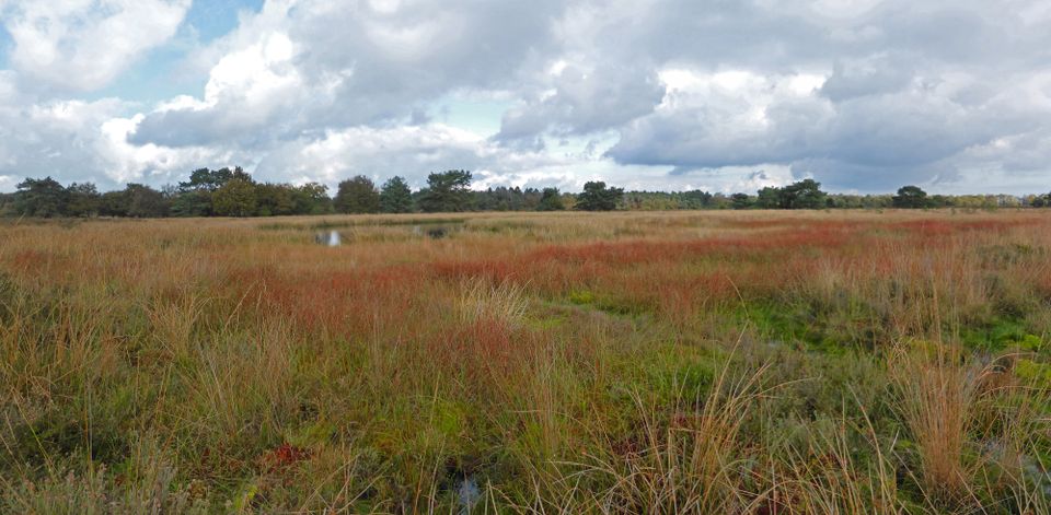
Leaving the Terhorsterzand behind you, you’ll then dive into the Dwingelerveld, one of Drenthe’s three national parks. Did you know that the Dwingelerveld is the largest contiguous wet heathland in the Netherlands? This is a great time to find a bench, sit down and enjoy the vistas and sounds all around you. Can you hear the birds? The rustling leaves as the wind whispers through the trees? Maybe you hear don’t hear anything at all, just perfect silence.
After your break, head towards Spier and leave the Dwingelderveld behind you. You’ll find yourself walking amidst grasslands and forests as you follow the path back to Beilen to enjoy the afterglow of your lovely hike.