12


Hike
16 km
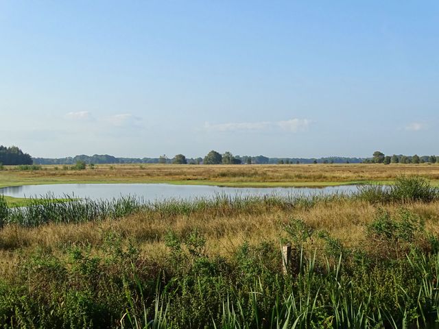
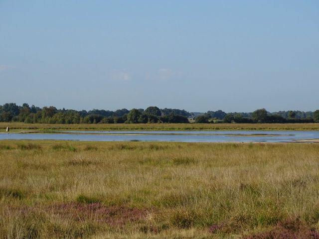
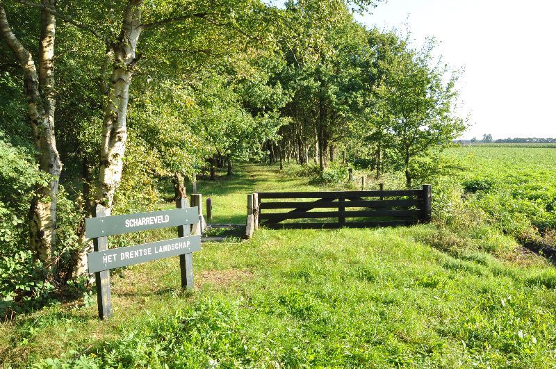
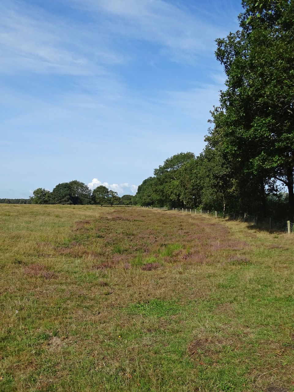
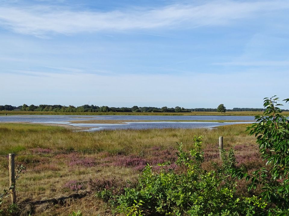
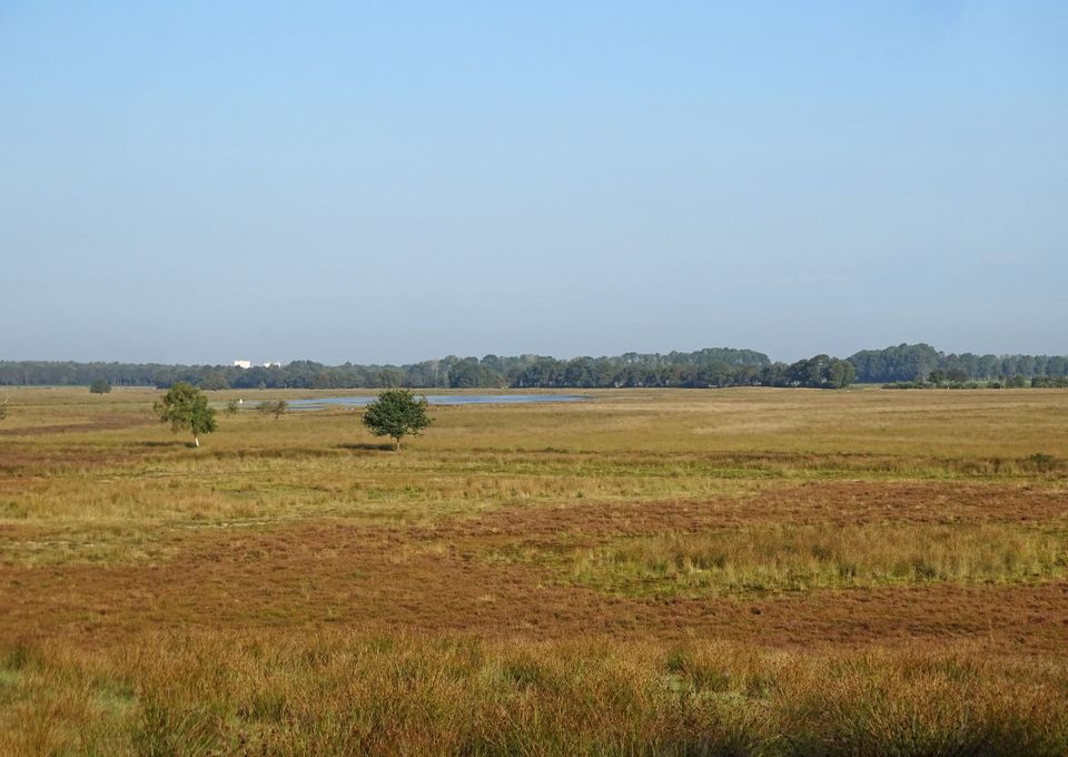
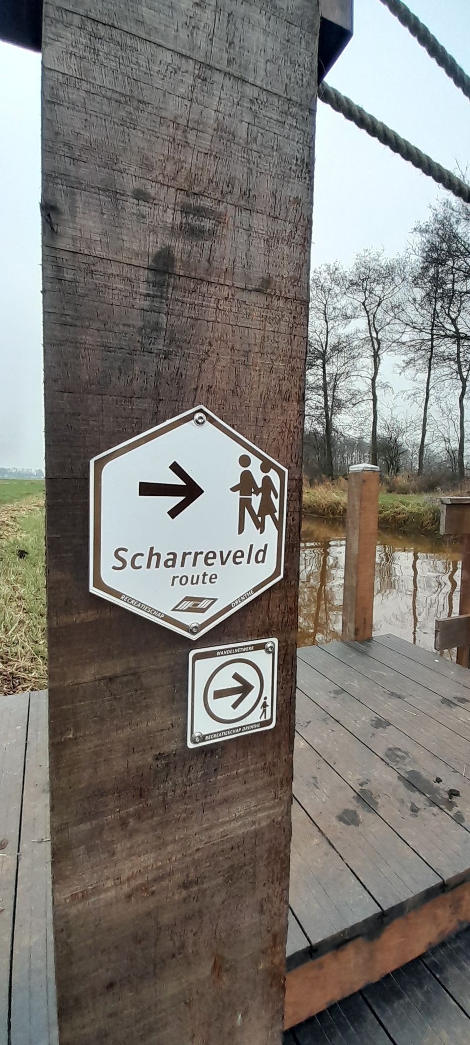
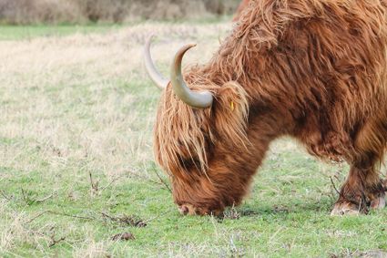
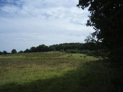
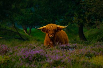
Meadows, fields and forests. You will pass the hamlets of Lieving, Makkum and Holthe in Drenthe and enjoy the Holtherzand and Scharreveld nature reserves. Take a break on the viewing hill and look out over the Scharreveld.
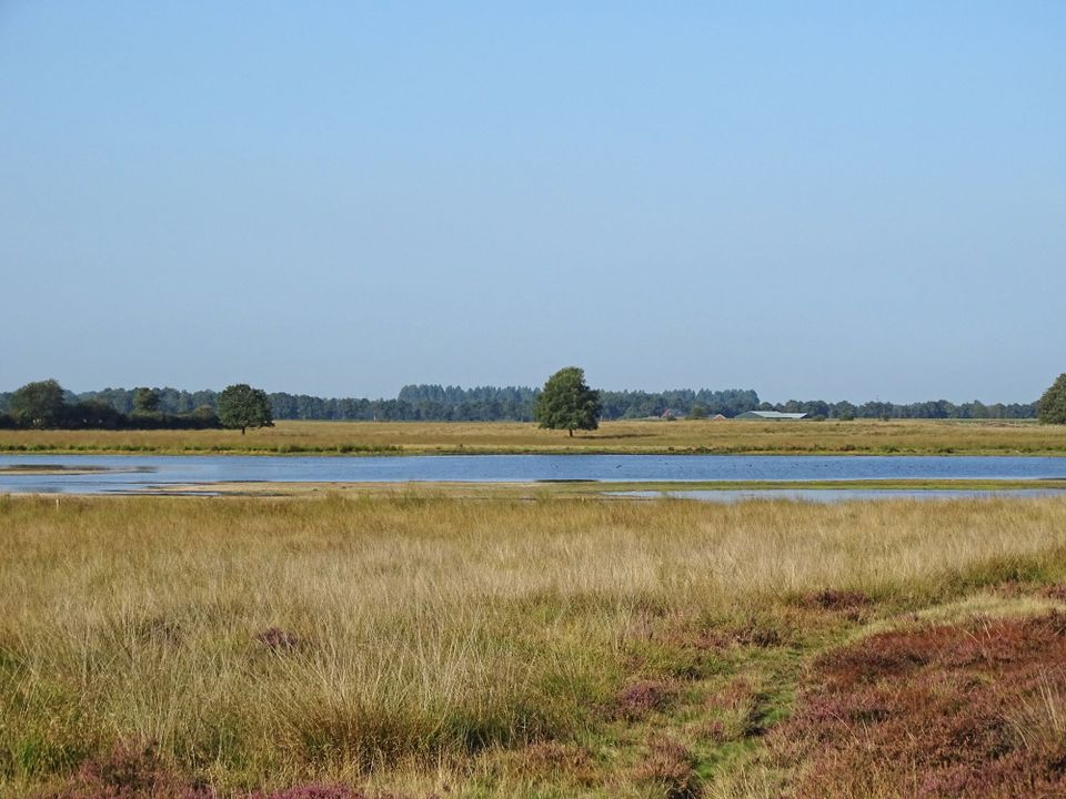
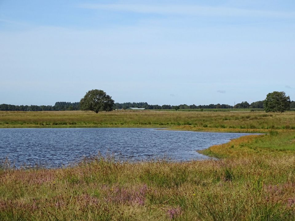
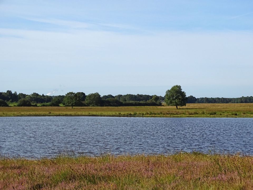
The 17-kilometre ‘Scharreveld’ trail runs from Beilen to the Holterzand and Scharreveld nature reserves, passing by several small villages before going back to Beilen. A shorter version of the trail only passes through the Holterzand. For a delicious snack or a refreshing drink during your hike, there are plenty of opportunities at the start and end of the trail in Beilen.
From Beilen, you walk directly into the coun…
Meadows, fields and forests. You will pass the hamlets of Lieving, Makkum and Holthe in Drenthe and enjoy the Holtherzand and Scharreveld nature reserves. Take a break on the viewing hill and look out over the Scharreveld.
The 17-kilometre ‘Scharreveld’ trail runs from Beilen to the Holterzand and Scharreveld nature reserves, passing by several small villages before going back to Beilen. A shorter version of the trail only passes through the Holterzand. For a delicious snack or a refreshing drink during your hike, there are plenty of opportunities at the start and end of the trail in Beilen.
From Beilen, you walk directly into the countryside through the hamlet of Lieving, passing by small farms, large farms and homes. After crossing the Beilerstroom, you will saunter along a lovely country road, enjoying the vistas that present themselves through the trees. You will walk from the Lieving hamlet to the small village of Makkum and pass a lake in the Holtherzand.
A little further on, you can shorten the trail if you want and return to Beilen. If you want more, continue to the Scharreveld nature reserve. Take a break on the viewing hill and revel in fantastic view. From this area of outstanding natural beauty, you then return to the Holtherzand, where the trail could be shortened.
Passing through the hamlet of Holthe, as well as Beilen and Makkum, you will reach the hamlet of Lieving, next to Beilen.
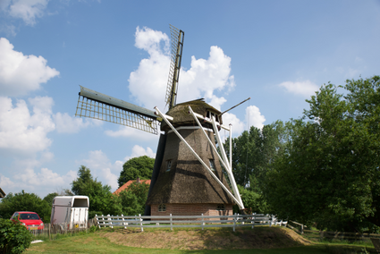
Makkum is a very small hamlet; in 1910, it had 19 houses, including the mill. There aren’t many more houses today, and the mill is still standing. Apart from the mill, there’s a campsite called De Molenhorst. A walking route through Holthe, Makkum and