
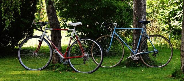


E-bike route
Racing
66 km
Drenthe Periphery Route 4 starts and ends at Cafetaria Het Busstation in the centre of Zuidwolde. The route has a length of 66 km and passes through Alteveer, Kerkenveld, Elim, Dalerpeel, Coevorden, Zwinderen, Geesbrug, Tiendeveen, Hoogeveen, Fluitenberg and Echten—and back again to Zuidwolde.
Coevorden
Its centre a little removed from the route, Coevorden is a city with a rich history, which is absol…
Drenthe Periphery Route 4 starts and ends at Cafetaria Het Busstation in the centre of Zuidwolde. The route has a length of 66 km and passes through Alteveer, Kerkenveld, Elim, Dalerpeel, Coevorden, Zwinderen, Geesbrug, Tiendeveen, Hoogeveen, Fluitenberg and Echten—and back again to Zuidwolde.
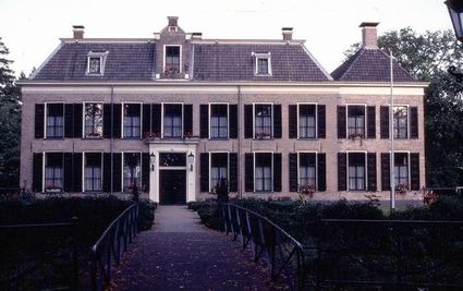
Coevorden
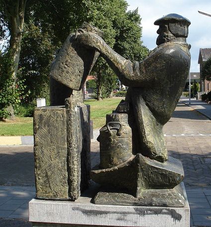
Its centre a little removed from the route, Coevorden is a city with a rich history, which is absolutely worth visiting. It has many historic buildings; most of them from just after 1592. In that year, Prince Maurits freed the city from the Spaniards, who had spent eleven years laying siege to it. Sadly, the departing Spaniards set fire to the entire city, causing almost all buildings from before that time to be destroyed. A part of the historic centre from after this time has remained intact ever since, and has been spectacularly enhanced with matching new buildings. The most impressive structures on the market is theatre De Hofpoort, which also functions as the town hall. Behind it you find a walking bridge towards Coevorden castle, which now serves as a hotel restaurant. The castle dates back to the 11th century but was also rebuilt in the 16th century.
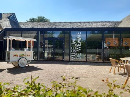
Other noteworthy sights in the city are the statue of Ganzen Geesje, the Reformed church, grain mill De Arend, Coevorden’s Stedelijk Museum (houses inside several beautiful old warehouses) and amusement park Plopsa Indoor Coevorden.
Starting points with parking options
There are multiple starting points for the route where you can park your car. This allows you to start the route from wherever you like.
Zuidwolde: Car park Weth. Klunderstraat (200 m)
Elim: Car park Sporthal De Brug, Zondervanstraat
Coevorden: Industrial estate Edisonstraat EDS Plein by Aldi (200 m)
Zwinderen: Brinkweg
Tiendeveen: Car park Molenweg (200 m)
Hoogeveen: Car park Middenveldweg
Fluitenberg: Car park Driehoekskamp (200 m)
Part of Drenthe Periphery 255 km
This route is part of the route Drenthe Periphery 255 km, that runs along the border of the province of Drenthe. Within this long route, you can also pick and choose from among ten shorter routes—varying from 55 to 67 kilometres—or two routes of 135 and 170 kilometres.
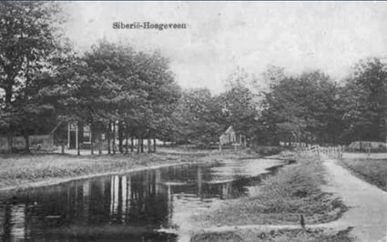
This region is described as ‘Siberië’ (Siberia) on old maps. The area probably got that name in the French period because it was remote and deserted.
Legend route description:
CR = crossroad
TL = turn left
KL = keep left
to. = towards
TJ = T junction
TR = turn right
KR = keep right
le. = left
ROU = roundabout
SA = straight ahead
CSA = continue straight ahead
ri. = right
TrL = traffic light