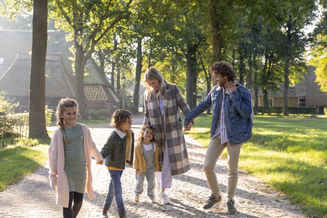
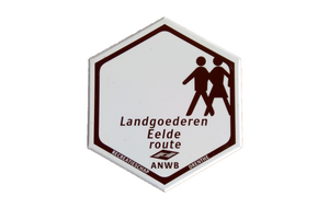
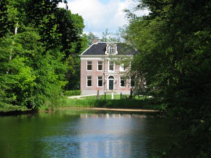
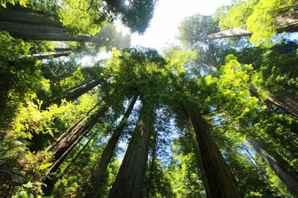
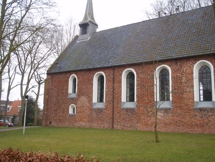
The ‘Landgoederen Eelde’ walking route spans 17 kilometres and leads you through and around Paterswolde and Eelde along the border between the provinces of Drenthe and Overijssel. The route takes you past many country estates and manor houses and through breathtaking natural landscapes. Are you hungry or thirsty along the way? There is plenty of food and drink on offer in Paterswolde and Eelde.
Would you like to know which …
The ‘Landgoederen Eelde’ walking route spans 17 kilometres and leads you through and around Paterswolde and Eelde along the border between the provinces of Drenthe and Overijssel. The route takes you past many country estates and manor houses and through breathtaking natural landscapes. Are you hungry or thirsty along the way? There is plenty of food and drink on offer in Paterswolde and Eelde.
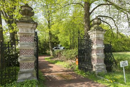
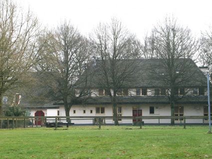
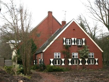
Would you like to know which country estates and manor houses you are passing on your route? Here they are: country estate De Braak, country estate Vennebroek, country estate Lemferdinge, country estate De Duinen, country estate Vosbergen, manor house Oosterbroek, Hooghullen house, de Waterburcht and manor house Terborch. Where else could you find this much Drenthe history crammed together?
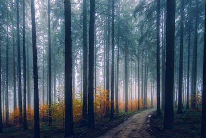
Also along your route, for your enjoyment, are the Paterswoldsemeer and the Friesche Veen with its marsh forest, water and reedlands.


Welcome to the International Wooden Shoes Museum